TROPICAL CYCLONE BULLETIN NO. 7
Typhoon “#JolinaPH” (CONSON)
Issued at 5:00 AM, 7 September 2021
Valid for broadcast until the next bulletin at 8:00 AM today.
TYPHOON “JOLINA” HAS EMERGED OVER THE SAMAR SEA AND IS NOW CROSSING THE ISLAND MUNICIPALITIES OF SAMAR PROVINCE.
• Location of Center (4:00 AM):
The center of the eye of Typhoon “JOLINA” was estimated based on all available data including those from Guiuan Doppler Weather Radar over the coastal waters of Sto. Niño, Samar (11.9°N, 124.4°E)
• Intensity:
Maximum sustained winds of 120 km/h near the center, gustiness of up to 180 km/h, and central pressure of 990 hPa
• Present Movement:
West Northwestward at 20 km/h
• Extent of Tropical Cyclone Winds:
Strong winds or higher extend outwards up to 180 km from the center
TROPICAL CYCLONE WIND SIGNALS IN EFFECT
• TCWS No. 3
(Destructive typhoon-force winds prevailing or expected within 18 hours)
LUZON:
The eastern portion of Masbate (Pio V. Corpuz, Palanas, Cataingan, Placer, Dimasalang, Uson, Cawayan, Esperanza, Mobo) including Ticao Island
VISAYAS:
The extreme western portion of Northern Samar (San Vicente, Capul, San Antonio, San Isidro), the northern portion of Biliran (Kawayan, Culaba, Caibiran, Maripipi, Almeria), and the northern and central portions of Samar (City of Catbalogan, Tarangnan, Jiabong, Motiong, Paranas, Calbiga, Pinabacdao, Villareal, Talalora, Daram, Zumarraga, San Sebastian, Hinabangan, Pagsanghan, Santo Niño, Tagapul-An, Almagro, Santa Margarita, Gandara, San Jorge, Calbayog City)
• TCWS No. 2
(Damaging gale-force winds prevailing or expected within 24 hours)
LUZON:
Albay, Sorsogon, the rest of Masbate including Burias Island, the western and southern portions of Camarines Sur (Del Gallego, Lupi, Ragay, Libmanan, Sipocot, Cabusao, Pasacao, Pamplona, Gainza, Camaligan, Canaman, Magarao, Bombon, Naga City, Pili, Ocampo, Iriga City, Sagñay, Buhi, Milaor, San Fernando, Minalabac, Bula, Nabua, Baao, Balatan, Bato, Calabanga), the eastern portion of Marinduque (Torrijos, Santa Cruz), southeastern portion of Quezon (Tagkawayan, Guinayangan, Buenavista, Mulanay, San Narciso, San Francisco, San Andres, Catanauan, Calauag, General Luna, Lopez, Macalelon), and the eastern portion of Romblon (San Fernando, Magdiwang, Cajidiocan, Romblon, Banton, Corcuera)
VISAYAS:
The rest of Biliran, the western portion of Northern Samar (Silvino Lobos, Lope de Vega, Catarman, Bobon, San Jose, Rosario, Lavezares, Biri, Allen, Victoria, Mondragon), the rest of Samar, the central and southern portions of Eastern Samar (Can-Avid, Taft, Sulat, San Julian, City of Borongan, Maydolong, Balangkayan, Llorente, General Macarthur, Quinapondan, Hernani, Salcedo, Mercedes, Guiuan, Balangiga, Lawaan, Maslog, Dolores, Giporlos), and the northern portion of Leyte (Calubian, San Isidro, Tabango, Leyte, Villaba, Matag-Ob, Ormoc City, Kananga, Carigara, Jaro, Dagami, Julita, Tabontabon, Tolosa, Tanauan, Palo, Pastrana, Santa Fe, Tacloban City, Barugo, San Miguel, Alangalang, Dulag, Tunga, Babatngon, Capoocan)
• TCWS No. 1
(Strong winds prevailing or expected within 36 hours)
LUZON:
Catanduanes, the rest of Camarines Sur, Camarines Norte, the rest of Quezon including Polillo Islands, Laguna, the eastern portion of Batangas (Santo Tomas, Lipa City, San Jose, Batangas City, Ibaan, Rosario, Padre Garcia, San Juan, Taysan, Lobo, City of Tanauan, Malvar, Balete, Mataasnakahoy, Cuenca, San Pascual), the rest of Marinduque, the rest of Romblon, the northern and central portions of Oriental Mindoro (City of Calapan, Naujan, Victoria, Socorro, Pola, Pinamalayan, Gloria, Bansud, Bongabong, Roxas, Baco, San Teodoro, Puerto Galera)
VISAYAS:
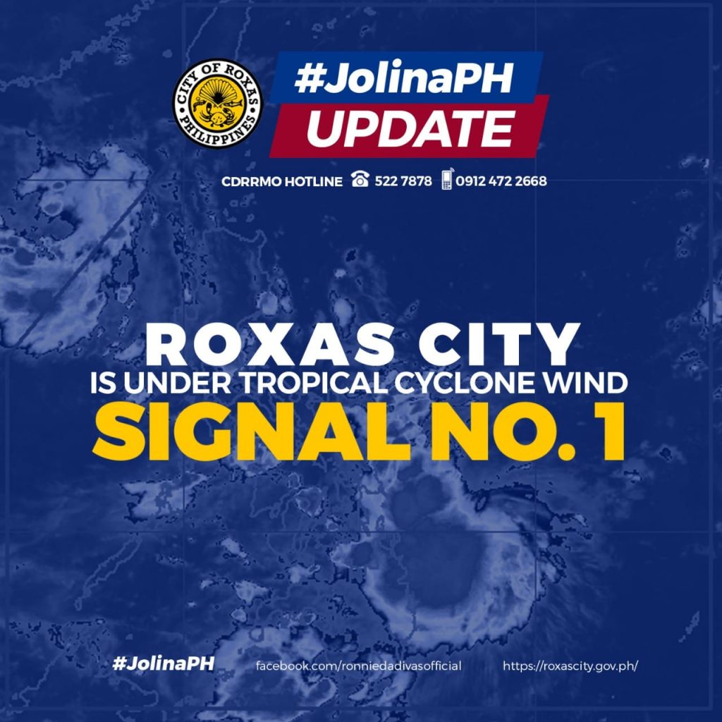
The rest of Northern Samar, the rest of Eastern Samar, the rest of Leyte, Southern Leyte, the northern portion of Cebu (Carmen, Tuburan, Catmon, Sogod, Tabuelan, Borbon, Tabogon, San Remigio, City of Bogo, Medellin, Daanbantayan) including Camotes and Bantayan Islands, the northeastern portion of Iloilo (Concepcion, Sara, San Dionisio, Batad, Estancia, Carles, Balasan), and the extreme northern portion of Capiz (Pilar, Panay, Roxas City)
• Tropical Cyclone Wind Signal #1 over Dinagat Islands is hereby lifted.
HAZARDS AFFECTING LAND AREAS
Heavy Rainfall
• In the next 24 hours, “JOLINA” may bring heavy to intense with at times torrential rains Eastern Visayas, Sorsogon, and Masbate. Moderate to heavy with at times intense rains are also likely over the southern portion of Quezon, Romblon, Marinduque and the rest of Bicol Region and Visayas.
• Under these conditions, scattered to widespread flooding (including flash floods) and rain-induced landslides are possible especially in areas that are highly or very highly susceptible to these hazard as identified in hazard maps.
Severe Winds
• Destructive typhoon-force winds are likely to occur within any of the areas where Tropical Cyclone Wind Signal #3 is in effect. This may bring generally moderate to heavy damage to structures and vegetation.
• Damaging gale-force to storm-force winds are likely to occur within any of the areas where TCWS #2 is in effect. This may bring generally light to moderate damage to structures and vegetation.
• Strong winds (strong breeze to near gale conditions) with occasional gusts will be experienced in areas where Tropical Cyclone Wind Signal (TCWS) #1 is in effect. This may result to up to very light damage to structures and vegetation.
Coastal Inundation
In the next 24 hours, the threat of coastal inundation due to storm surge of up to 0.5-1.0 m continues for the coastal localities of Eastern Samar, Samar, and Masbate which may pose threat to life and property. In addition, coastal areas of localities under TCWS, especially those at #2 and #3 may experience coastal flooding due to hazardous surf conditions.
HAZARDS AFFECTING COASTAL WATERS
• In the next 24 hours, Typhoon “JOLINA” will bring rough to very rough seas (2.5 to 5.0 m) over the seaboards of areas where TCWS #2 and #3 are in effect. Sea travel is risky for all types of seacrafts over these waters. Mariners without the proper experience should immediately seek safe harbor.
• Moderate to rough seas (1.2 to 2.8 m) will be experienced over the seaboards of areas where TCWS #1 is in effect, the remaining seaboards of Visayas, and the northern eastern seaboards of Mindanao. Mariners of small seacrafts are advised to take precautionary measures when venturing out to sea. Inexperienced mariners should avoid navigating in these conditions.
TRACK AND INTENSITY OUTLOOK
• Recent landfalls: Daram, Samar (2:00 AM); Sto Niño, Samar (3:40 AM)
• Within the next 12 hours, the typhoon is forecast to move over the Samar Sea and pass over or close to the island municipalities of Samar and the northern coast of Biliran before making landfall in the vicinity of Masbate (mainland or Ticao Island). During this period, “JOLINA” may weaken into a severe tropical storm.
• Beyond the next 12 hours, “JOLINA” will move northwestward towards Burias Island and the vicinity of Ragay Gulf before making another landfall in the vicinity of southeastern Quezon tonight or tomorrow early morning. Further weakening is likely during this period.
• By tomorrow afternoon, “JOLINA” will briefly emerge over Lamon Bay before making landfall in the vicinity of northern Quezon. Throughout the remainder of tomorrow and into tomorrow morning, the tropical cyclone is forecast to cross Central Luzon (roughly to the east and north of Metro Manila). Frictional effects during its traverse of Luzon landmass will weaken “JOLINA” down to tropical storm category.
• “JOLINA” is forecast to emerge over the West Philippine Sea before noon on Thursday. Re-intensification is forecast to occur beginning on Thursday afternoon as the tropical cyclone moves west northwestward over the West Philippine Sea towards the southern China-northern Vietnam area.
Considering these developments, the public and disaster risk reduction and management offices concerned are advised to take all necessary measures to protect life and property. Persons living in areas identified to be highly or very highly susceptible to these hazards are advised to follow evacuation and other instructions from local officials. For heavy rainfall warnings, thunderstorm/rainfall advisories, and other severe weather information specific to your area, please monitor products issued by your local PAGASA Regional Services Division.
The next tropical cyclone bulletin will be issued at 8:00 AM today.
DOST-PAGASA
Link: bit.ly/3eujmdC